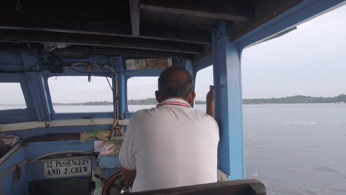
The third leg of King of the Trails series had runners do 15K on Pulau Ubin. How’s that for novelty in Singapore’s running scene, eh?
(Video of the event. Click the Play button.)
Race info they provided in PDF had the essentials covered. Especially with ferry and van transfers going to the race venue and going back to the mainland, the estimated transfer times were factored in my travel plans.
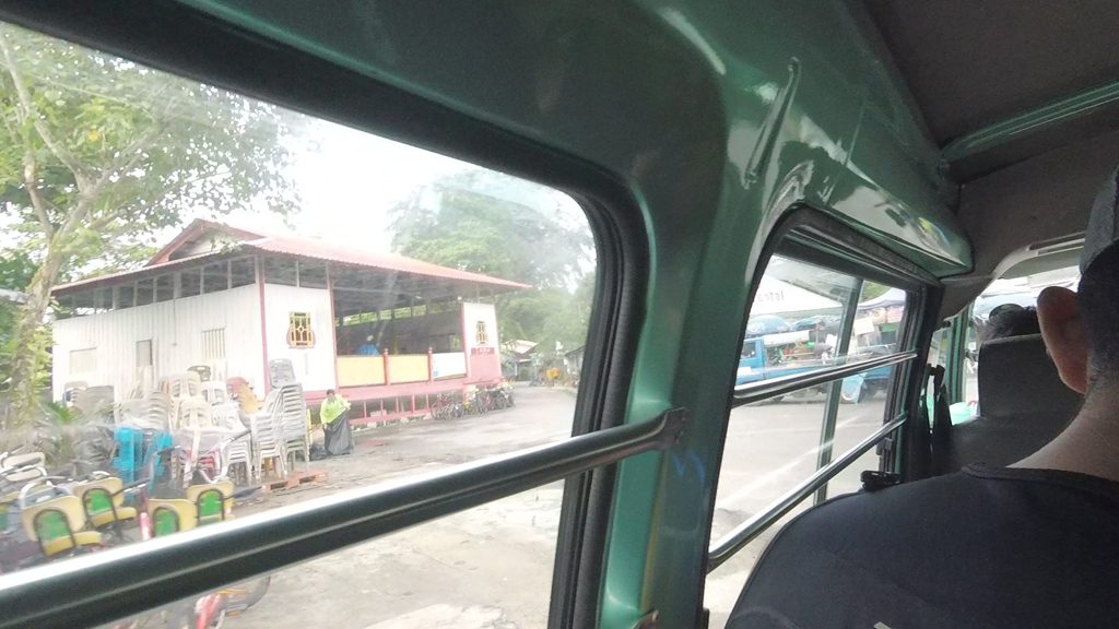
The ushers on both ferry terminals were moving people along smoothly from one stage to the next. Hardly any waiting time. And a guy welcoming everyone on arrival at the race venue pointing out where the toilets and the baggage drop opposite the pond. With people arriving in batches, that’s also easier to do. So efficient, I arrived earlier than initially planned.
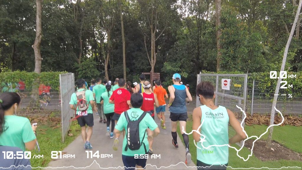
Not familiar with the place, I plotted the route on Garmin Connect to have an idea on the elevation profile. Normally reliable, but this time I got pranked into believing its totally flat. Turned out it has slopes all over when traversing inland. Reminded me a lot like the roads of another popular island, Sentosa, when I ride them on my bike.
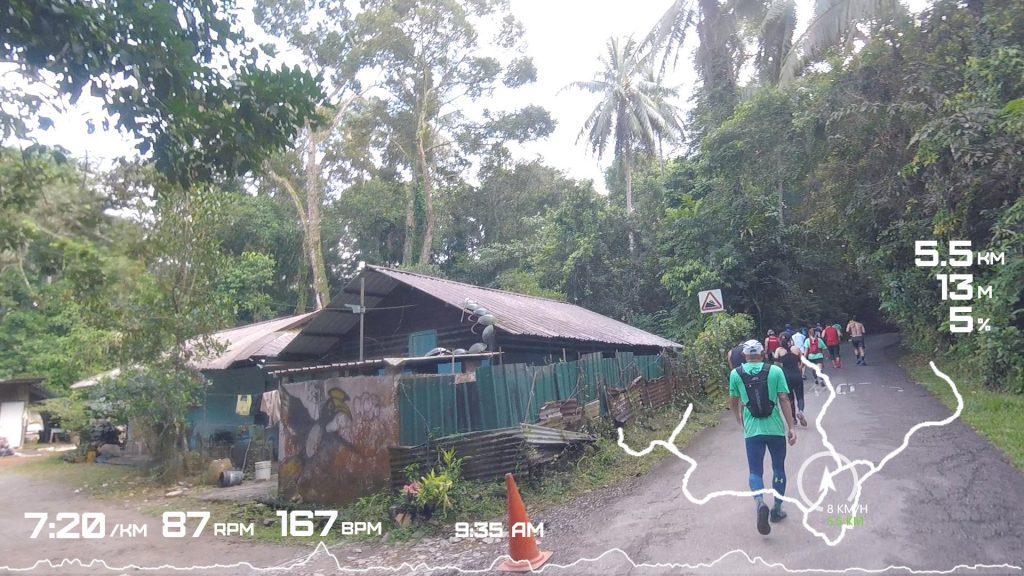
Speaking of pranks… I believe I was not the only one who expected more trails than tarmac. Though the event website did declare from the start (since Q1) that this leg is 20% trail / 80% road, the gravel/dirt section was actually just a fleeting 8% experience of the distance (did the maths on my Strava). I remember this segment more for the choke point.
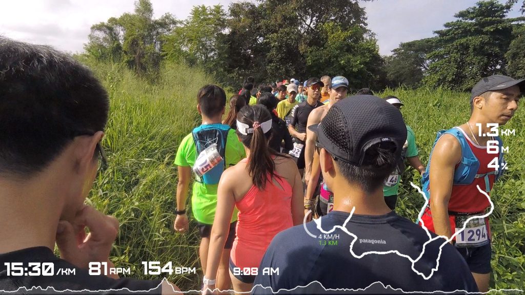
The sun was obscured in most parts by tall trees even with the unusually late 9am flag off. Regardless for less fleet footed participants like myself, the longer I was out on the course, there was no escape from the rising temperature and humidity. Had to spray my face with water from my soft flask, while another opted to be in his birthday suit to keep cool.
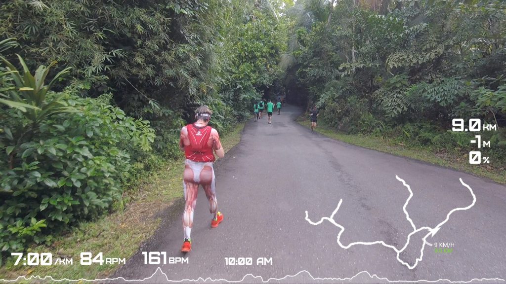
The race is a succession of out-and-back routes fanning to different corners of the island. There were only 2 water stations but smartly positioned to be accessed every 3-4 kms.
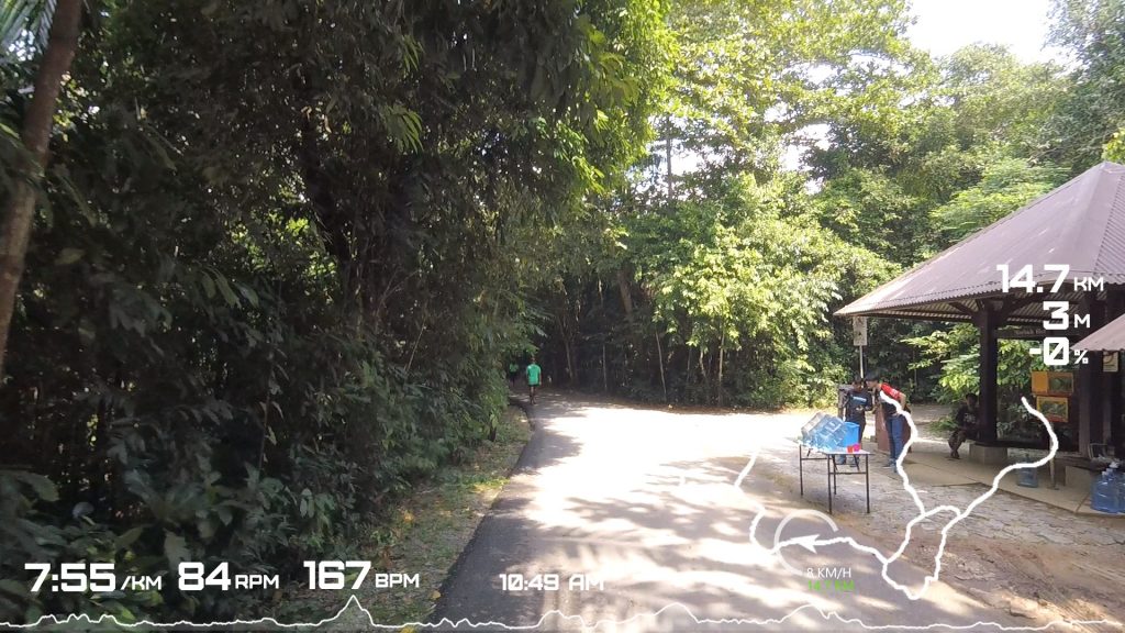
The scenery? Downtown Ubin does look like its stuck in the 70s. If they charge people for every Instagram picture taken there, then it would have been a viable source of revenue for the island. But the running route totally avoid this part.
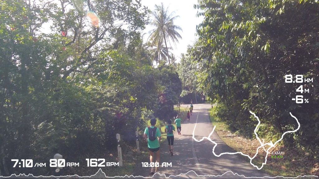
Where we ran, the roads were almost always bordered by forests, garden-like greeneries, and the occasional appearance of an old wooden house and canteen. With only a few residents left on the island, and the authorities big on preserving what’s left in the island, it hardly feels rural. Its more garden-esque / nature-park-ish than rustic. Somewhat similar to riding through Mount Pleasant road with the occasional colonial black and white bungalow peeking behind the trees.
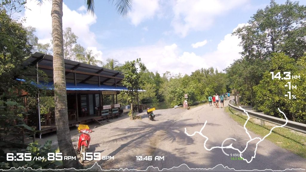
But I can imagine myself hanging out at these places with a cold beer in hand on the warm evening and a clear night sky, then having kopi-o-kosong the next day to mask a hangover after eating nasi lemak. Do they have WiFi?
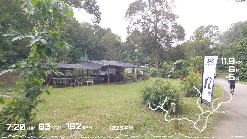
Overall, great event, excellent venue. Well done guys. If there were actual running trails showcased here, I’d come back on my own to run. But will go back with my foldie to tackle those slopes and explore what else is there.


